|
The Gems: South Bass to Boucher
October 23 thru October 30, 2004
NOTE: Click on Hypertext to view photos.
Preface. This backpack generally followed the Tonto Trail from the South Bass Trail to the Boucher Trail. This section of the Tonto generally runs from the NW to the SE. However, to spice up the hike a bit, I convinced the others to hike along the river between Serpentine and Emerald, the next side canyon up-river from Serpentine. I had done the Gems twice before: once solo in 1998, and once with Donna Karr, my girlfriend, in 2003. I have done a more recent trip in 2011. This report occasionally includes details from these other trips, if deemed helpful or informative.
Bert Fingerhut had previously arranged for a river trip to place a cache for us at Serpentine Beach.
Trip members included
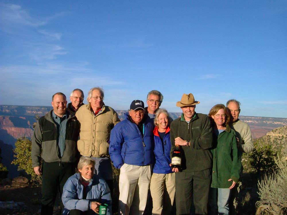
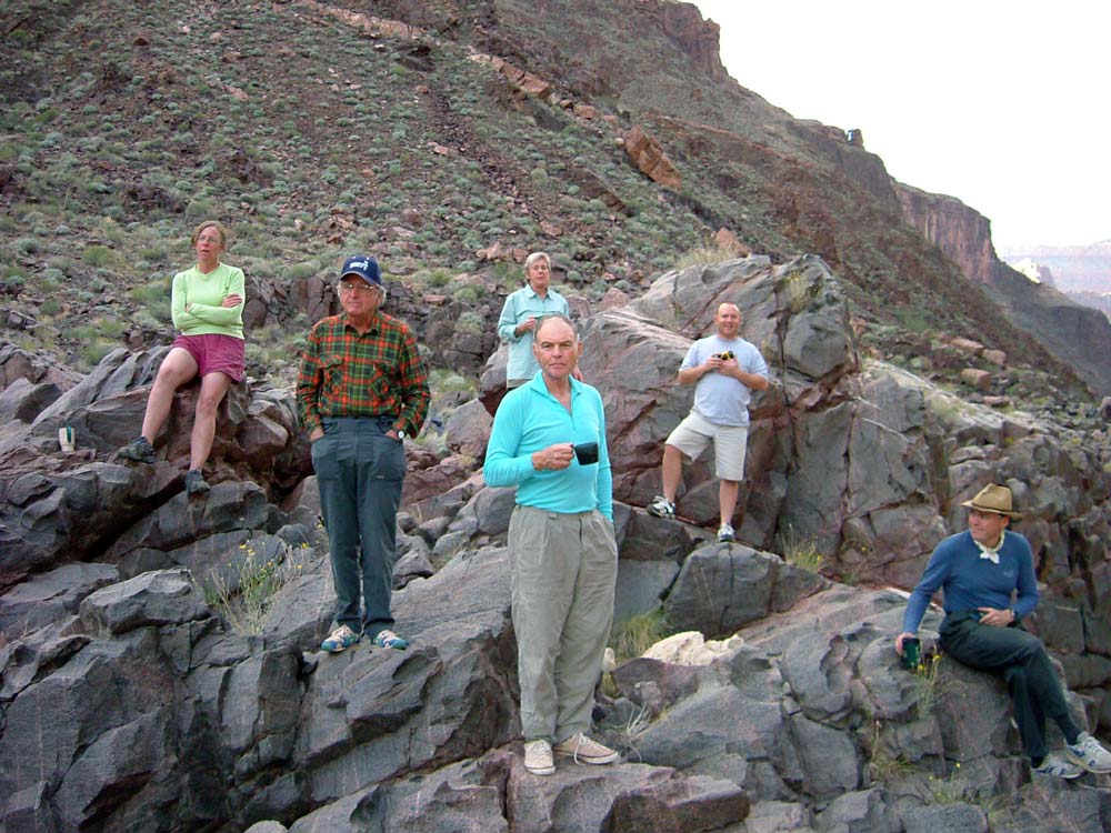
Fred, Randy, Leslie, Marcey, Ronni, Jim, Hansjorg, Patrick, and me.
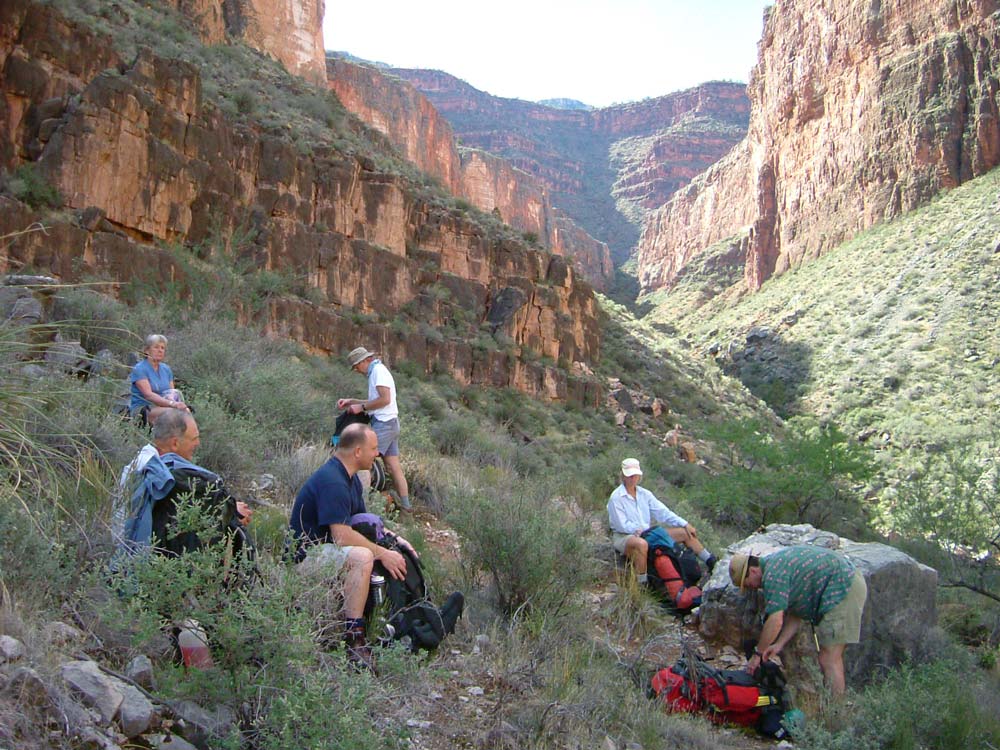
October 23, 2004. Hansjorg and Bert arranged for Bill Heddon (Grand Canyon Trust, Flagstaff) to haul all of us out to the South Bass Trailhead on Saturday afternoon. Amy Tacey had given me a ride the first two times I did this hike, but she was already booked for today. Patrick and Hanjsorg brought some nice wine for us to enjoy at dinner (see group photo). I usually sleep in my car at the trailheads, but this time I didn't have my car, so the night was pretty cold for me.
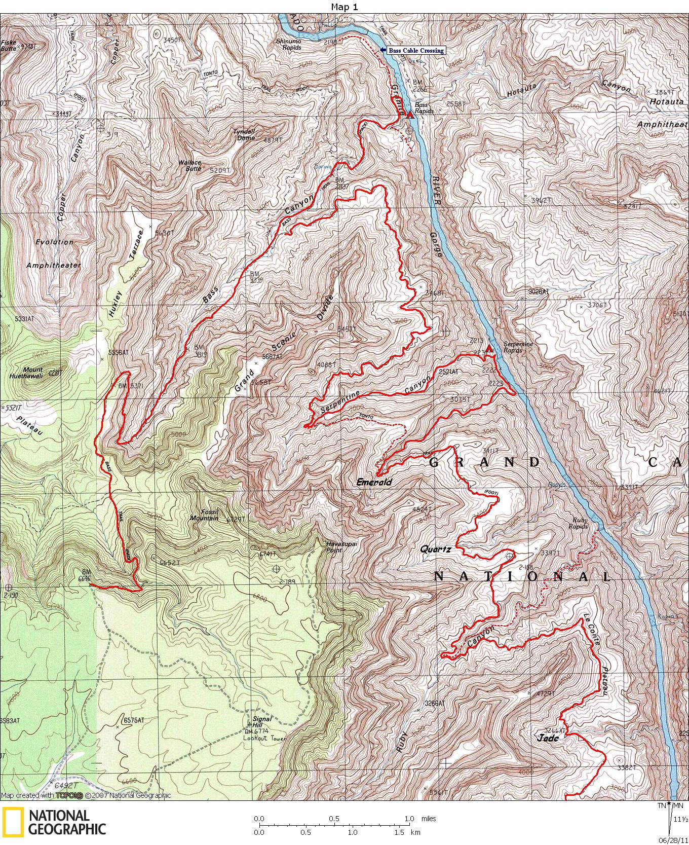
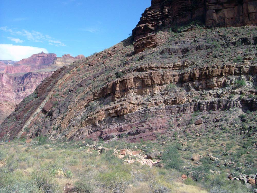
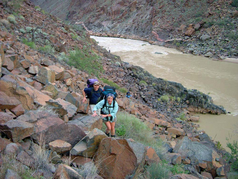
October 24, 2004. Our goal for the day was the Colorado at Bass Beach, which is 6.9 miles and 4500 feet of elevation loss. We got started about an hour after sunrise (a bit late for us) and quickly made our way down to the Esplanade. The weather was perfect. We stopped for a break at the last shade of the morning, just below the Redwall. We soon reached the Tonto Trail where I cached most of my food to make the next day's hike back up from the river a little easier. We soon reached the tightly bent rock layers of the Bass Formation known as the Wheeler Fold. Near the end of Bass Canyon, the trail turns north (down-river) and reaches the turnoff to Bass Beach in about 1/4 mile. This trail was constructed by Bass and continues on to the beach across the river from the end of North Bass Trail, passing Bass's Cable Tram site along the way. The cable across the river was removed years ago, but piles of cable and timber are still evident. If you look closely you can see where the cable attachment point was located across the river. After turning off to Bass Beach and heading steeply down a spur trail through the Vishnu Schist, we passed an old steel boat called the Ross Wheeler. It was built in 1914 by Bert Loper, who abandoned it in 1915. In a few hundred more yards we came to the Bass Beach. At the upstream end of the beach, the Bass drainage pours over a cliff into some pools. I have always found water here, although it has not always been flowing. Bass Beach is one of my favorite campsites.
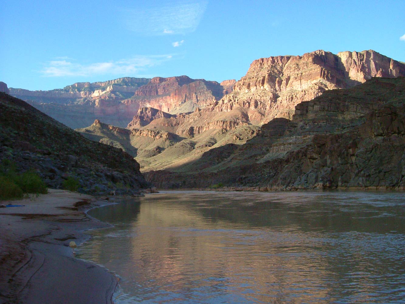
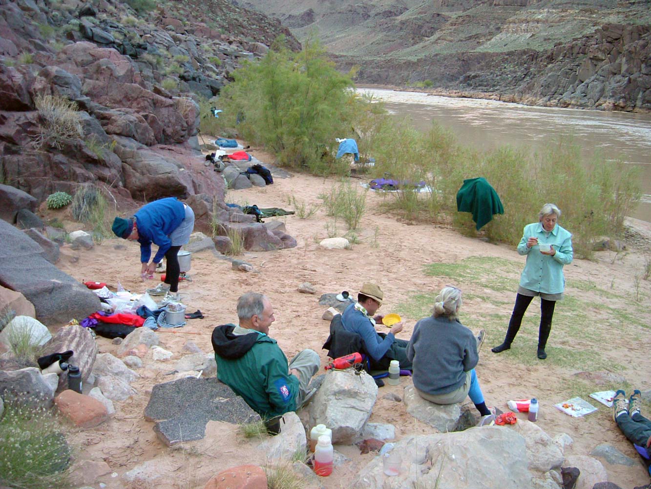
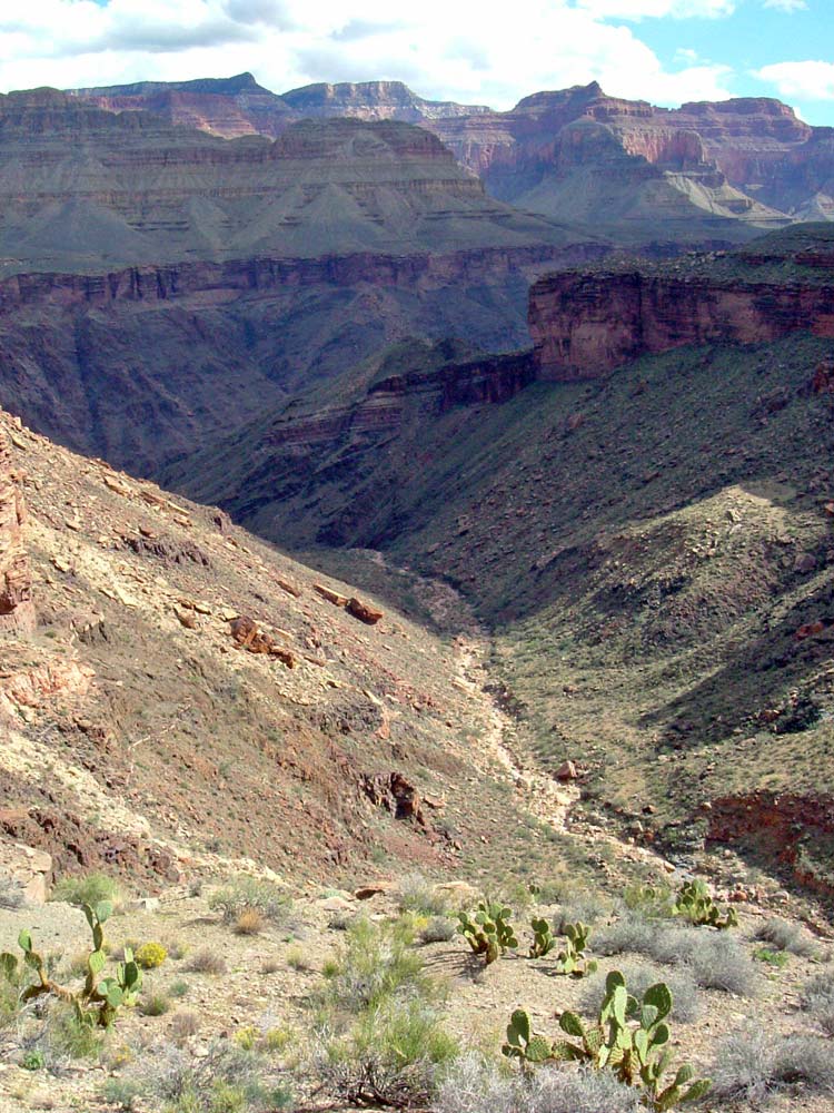
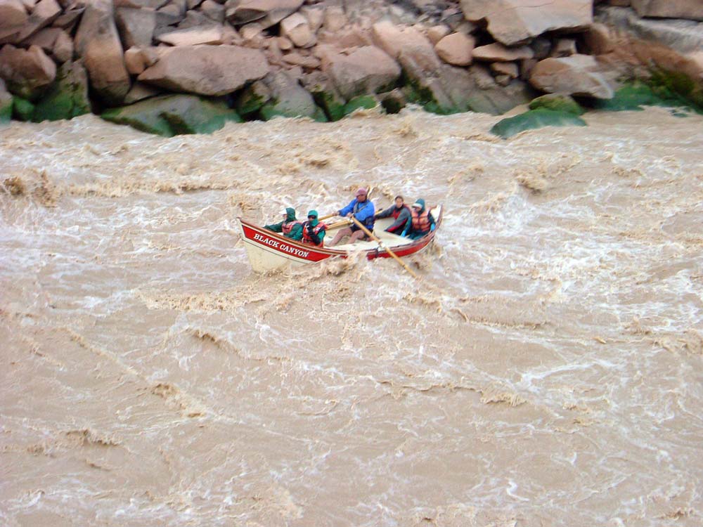
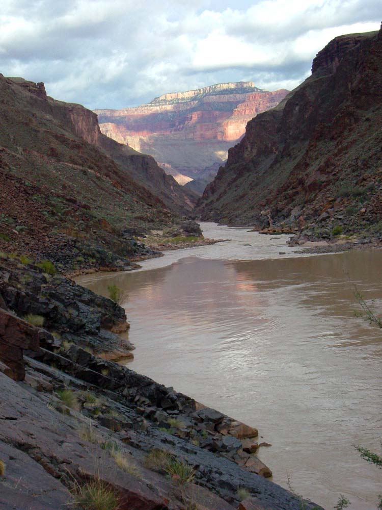
October 25, 2004. Our goal for the day was Serpentine Beach. I was looking forward to today because I had never been down Serpentine. First we had to climb the 1300 feet to the Tonto, then hike along the Tonto to Serpentine, then descend 1300 feet down Serpentine to the River and our cache. Total distance of a little more than 7 miles. When we got to Serpentine, we were relieved to see what looked like an easy hike down to the River (View down Serpentine). And it was a fairly easy stroll. Before dinner we stood on the river bank and watched a group of dories fight their way through Serpentine Rapid. We looked more like a group waiting for the aliens to appear than watching the dories.
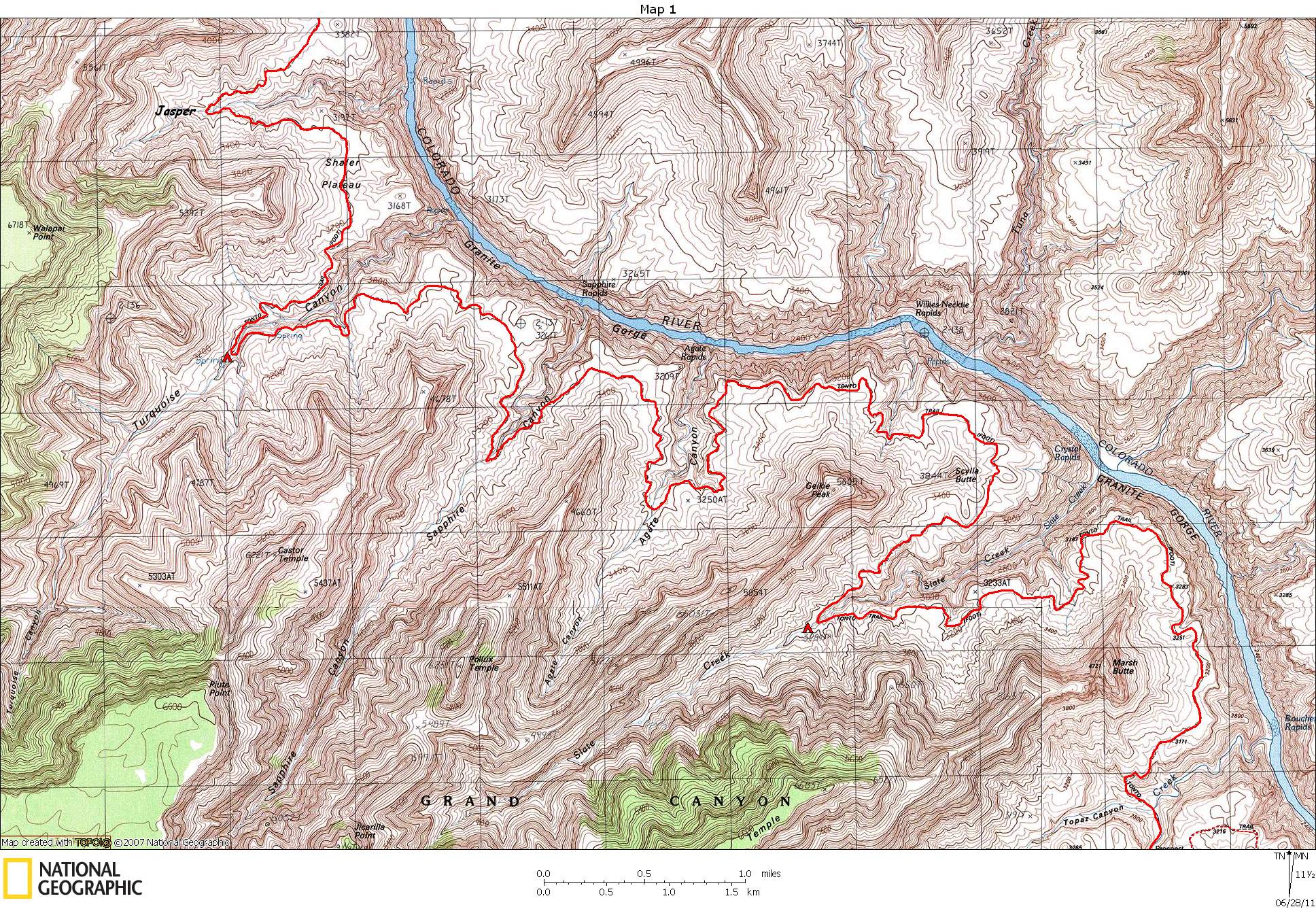
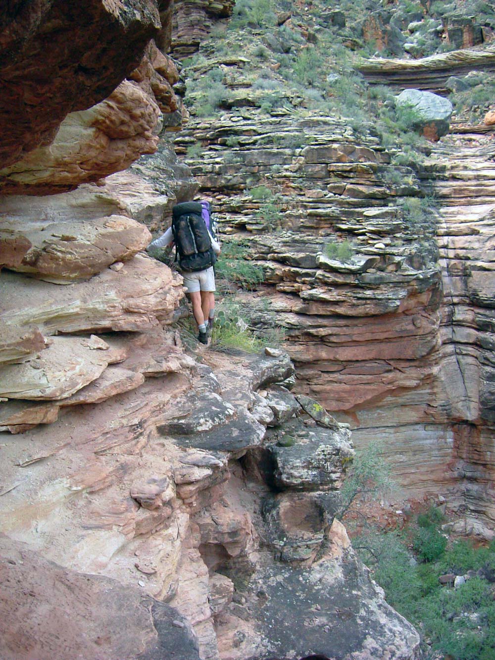
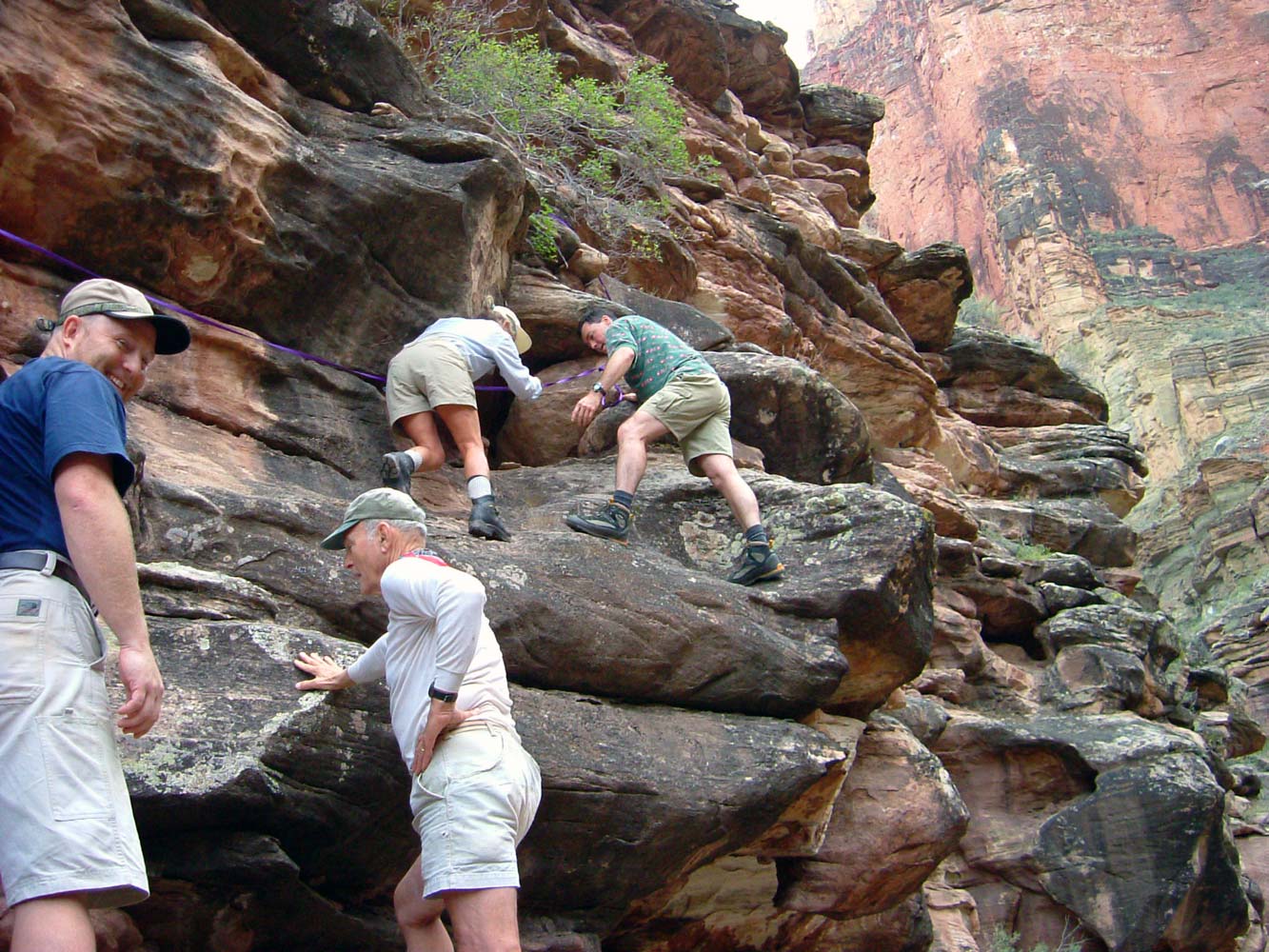
October 26, 2004. I was also looking forward to today because I was expecting a little off-trail adventure by hiking up-river to Emerald (unnamed on the topo), then up Emerald to the Tonto. The hike along the river is straight forward but tedious as you must climb over and around large blocks of talus, and either brave the long expanses of steep, slick schist, or go up and over them. But the total distance isn't long. The hike up Emerald was easy and uneventful until we got a ways into the Tapeats. At that point the hiking ended. Butchart says that there is "certainly" a route down the "nameless canyon" to the east of Serpentine. Well, there are hiking routes, and there are climbing routes. Emerald is a climbing route. We managed to get out, but with lots of real climbing -- Class 4+ -- and lots of exposure. The route we found climbed up from ledge to ledge on the left side (looking up canyon). It was too risky for even the best climber in our group (Patrick, a Swiss mountain guide) to do while carrying a pack, so we handed packs from person to person, with some people anchored to the rock face with webbing. But I think most of us liked the experience -- it added a little excitement. We continued on to Ruby that day.
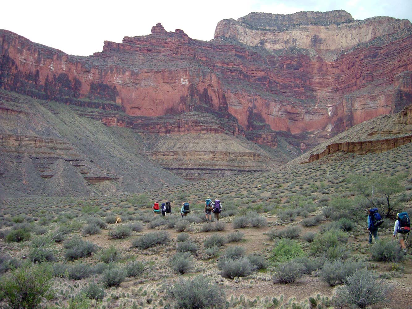
October 27, 2004. We awoke to a bright, sunny day, with crisp, clean air. We were soon on the trail again heading for Turquoise Canyon, only about 6 miles away. But soon clouds began to move in, and by the time we rounded the corner into
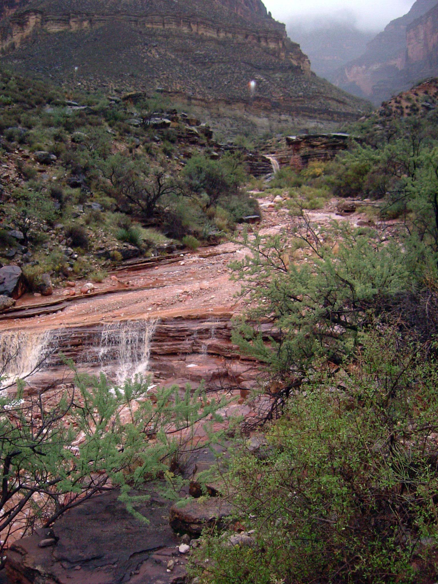
Jasper, it was already mostly cloudy. It started raining around 4:30 and rained steadily for 14 hours.
October 28, 2004. When we got up at first light (around 6:15) it started to let up some. But the creek down
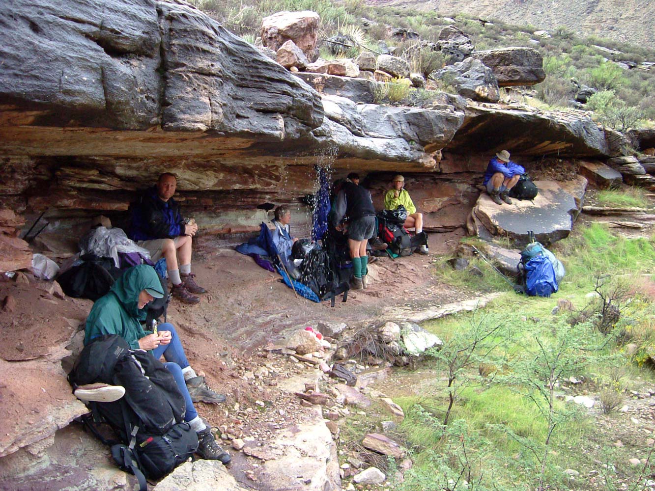
Turquoise was now running fast and dirty, and we spotted waterfalls going over the Redwall during breakfast. It was pretty, but a little daunting since we still had a long ways to go, with no layover days planned, and with no idea how long the storm might last. We were on the trail by 7:45 and hiked for several hours in a steady drizzle. We occasionally took a break when a sheltered opportunity arose. The weather was looking much better as we approached Slate, our destination for the night (9.3 miles away). We stopped below Scylla Butte to dry out our gear.
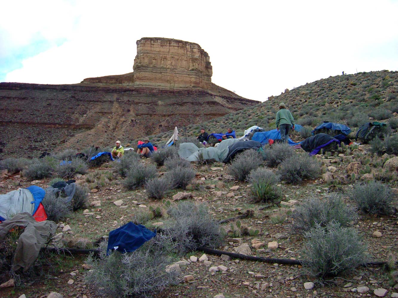
The sky was clear when we went to bed, but it rained for an hour or two during the night.
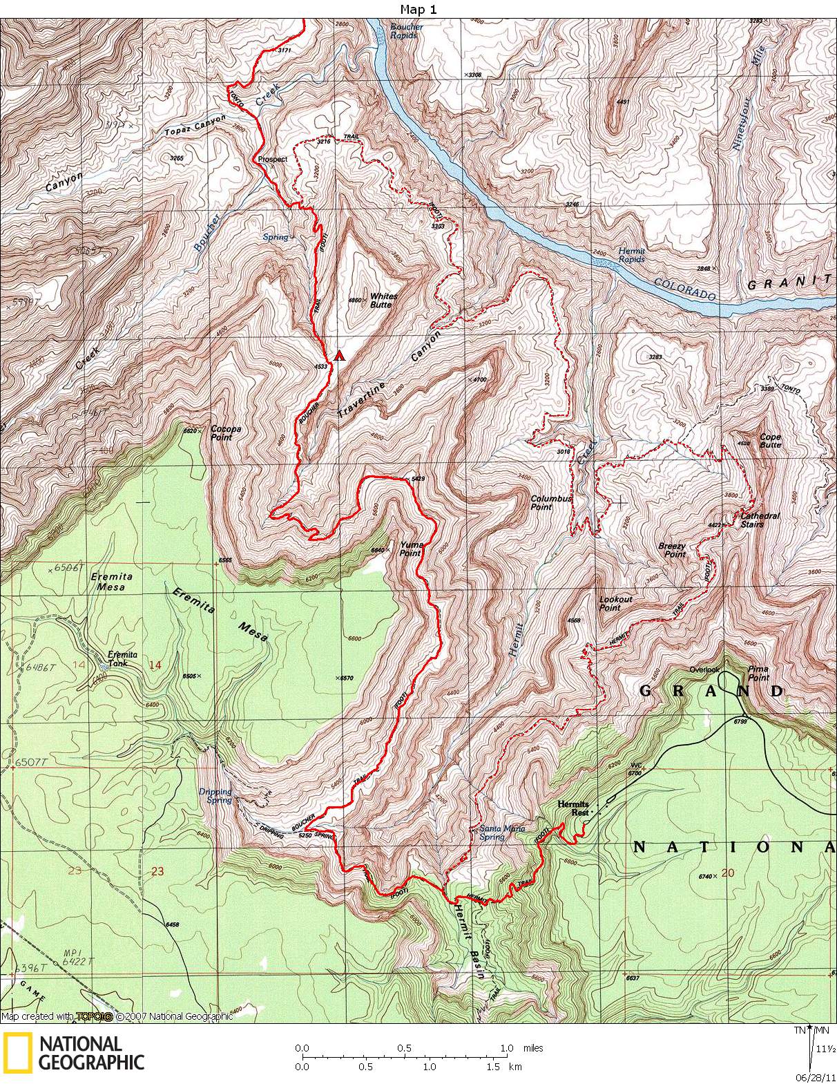
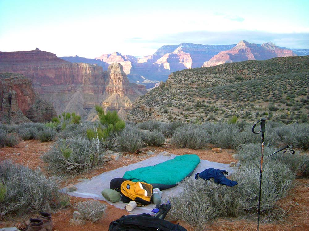
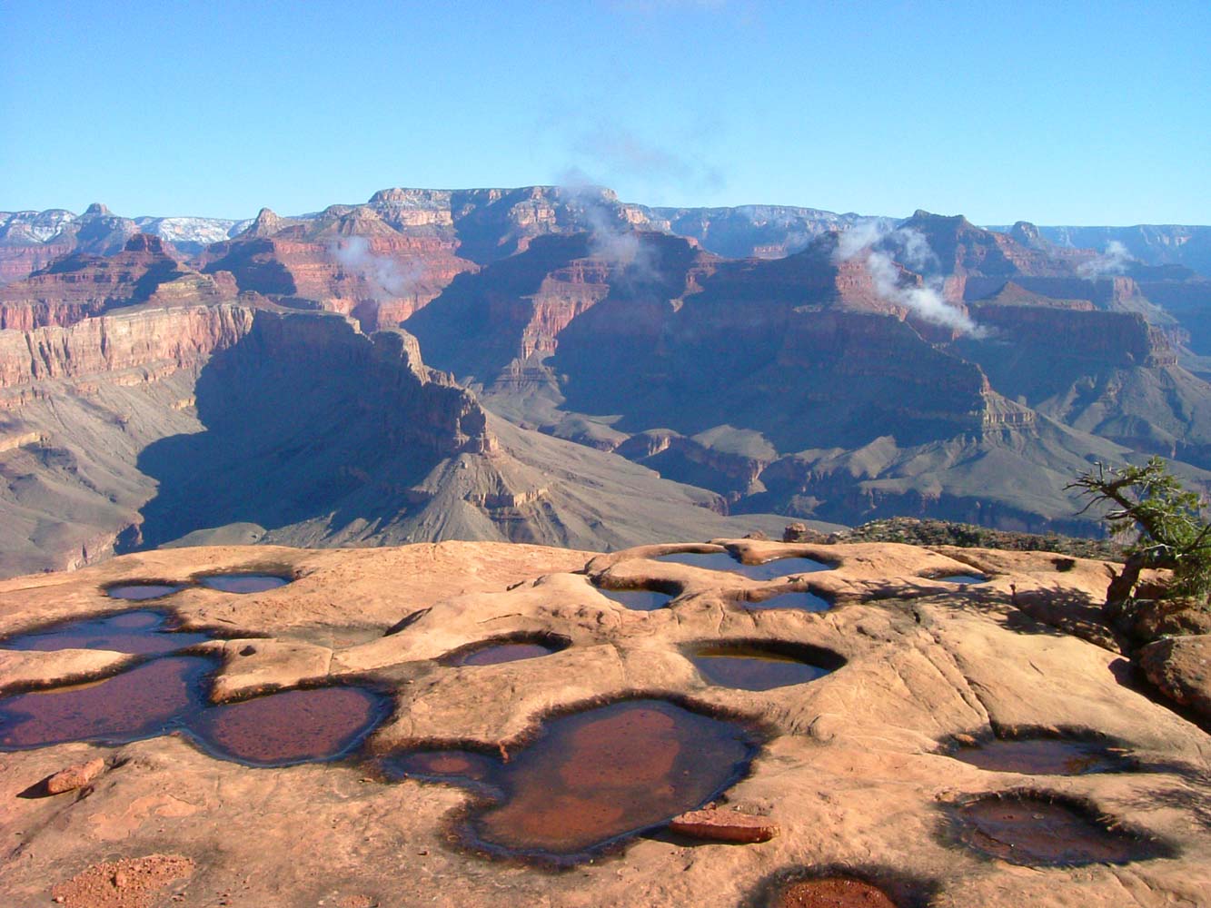
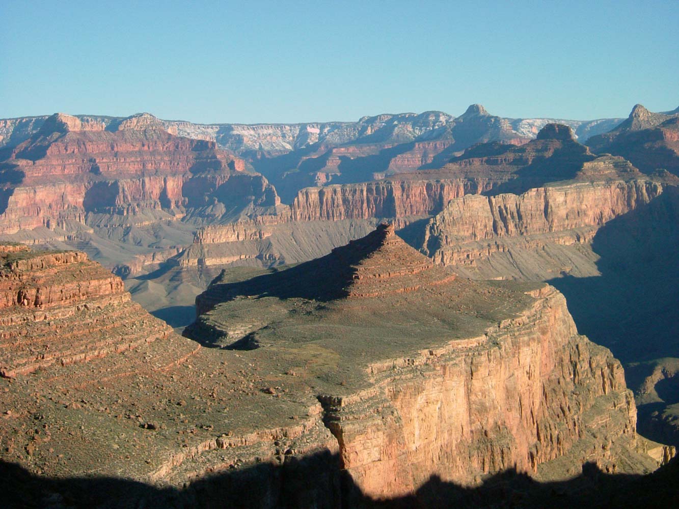
October 29, 2004. We awoke to a beautiful morning (see photos). Our objective for the morning was Boucher Creek, about 5 miles away. We stopped for a while at Boucher to dry our gear a little more. After lunch we turned off the Tonto Trail and onto the Boucher Trail, then climbed steeply to the plateau at the top of the Redwall below Whites Butte (only an additional 2 miles, but 1800 feet elevation gain) . This would be our camp for the night, and our last night of the trip. On a more recent Gems trip I camped at the potholes below Yuma Point. The views were awesome. It was a cold night at that elevation.
October 30, 2004. This was our last hiking day. In the morning we continued up the Boucher Trail, taking a long break at the
Yuma Point potholes. The view from Yuma Point is one of the best anywhere. In about two miles we reached the end of the Boucher Trail where it connects to the Dripping Spring Trail, and in about one more mile we came to the Hermit Trail. We followed the Hermit Trail for about another mile and a half until reaching the rim at Hermits Rest. We packed up our cars and left in a rush, as some people needed to get to Phoenix to catch a flight that evening. I headed for Kayenta for the night, then on to Boulder the next morning.
|