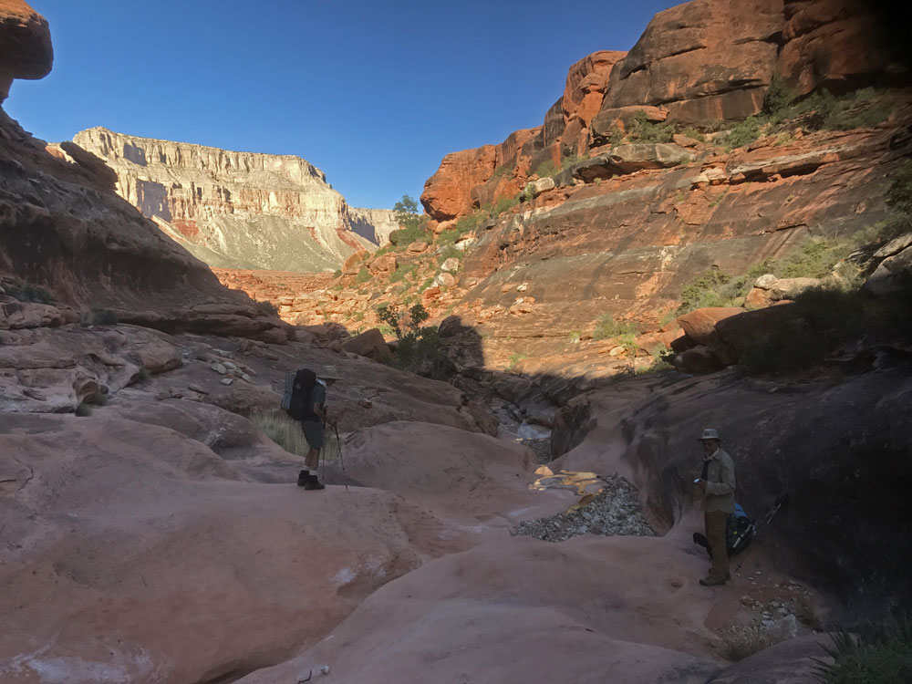
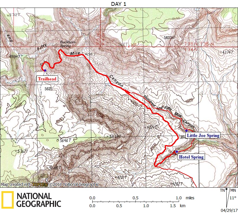
Day 1

April 14, 2017

140-Mile Canyon Trailhead to Hotel Spring


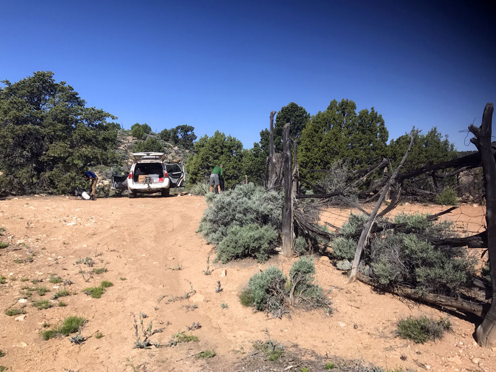
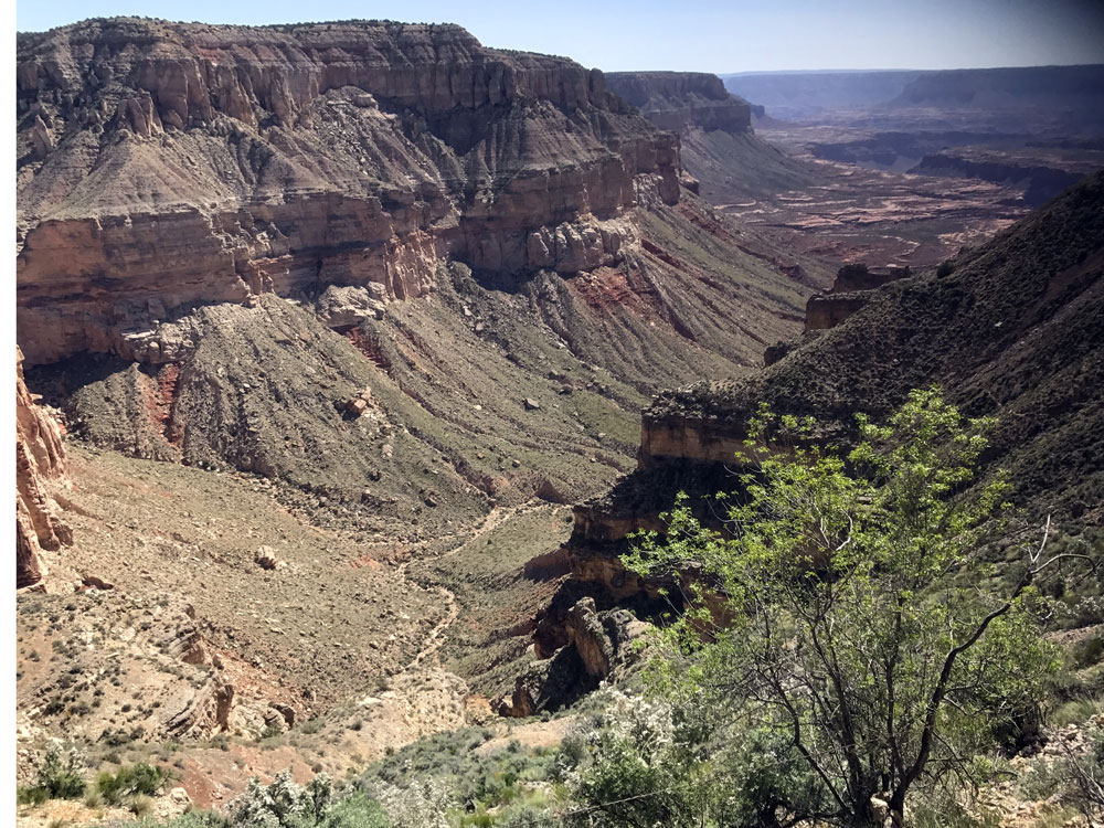
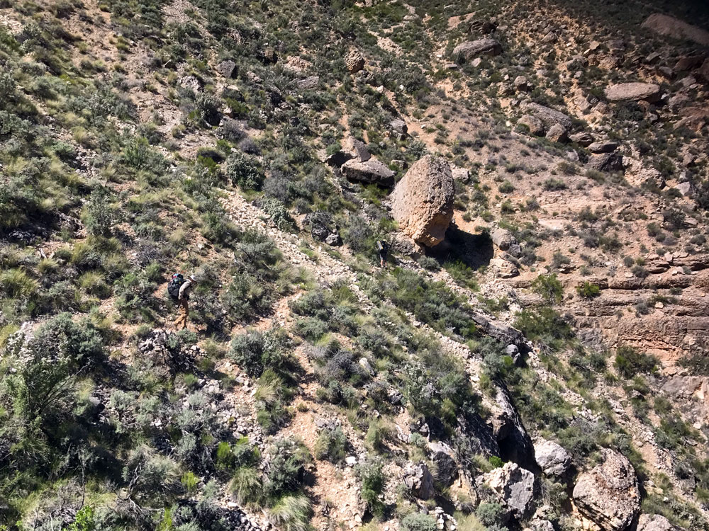
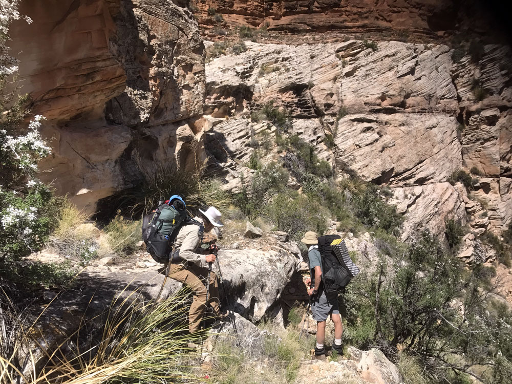
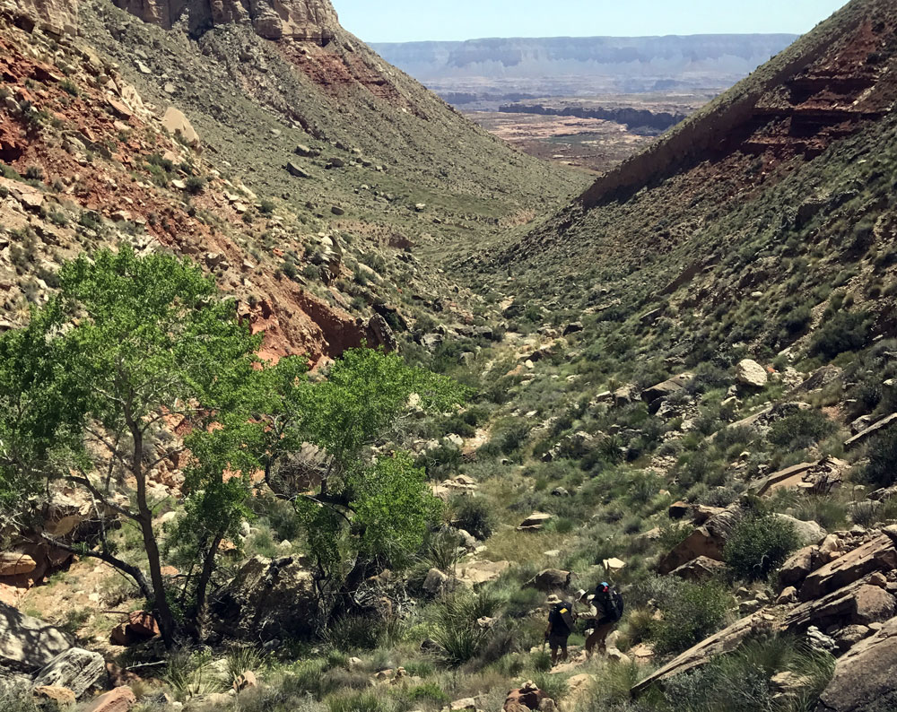
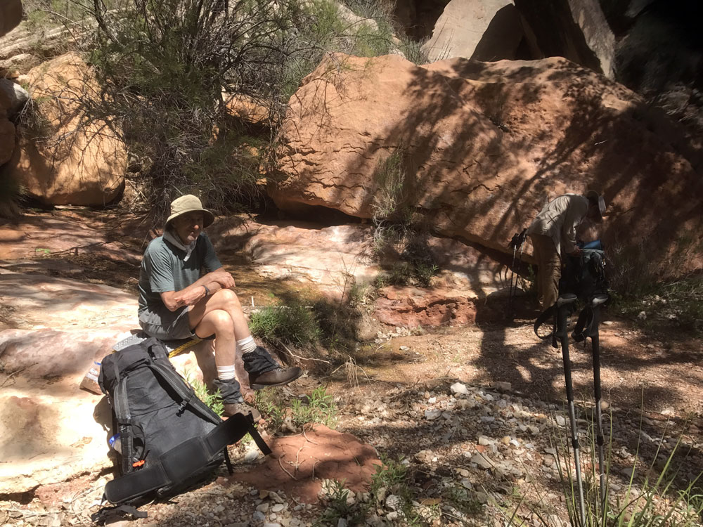
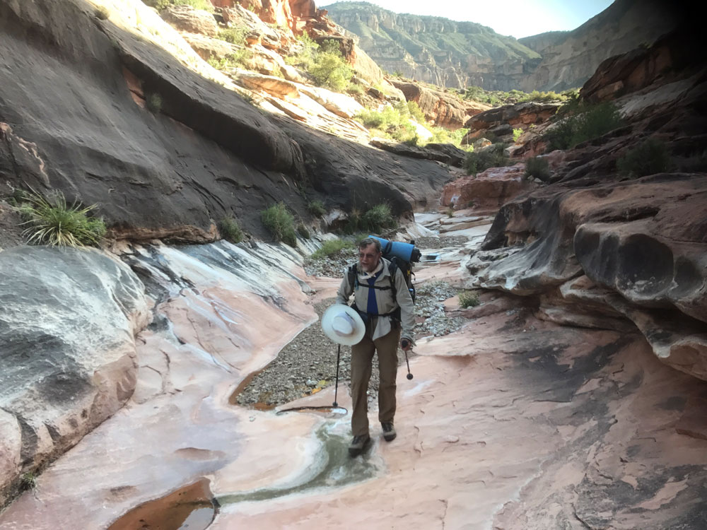
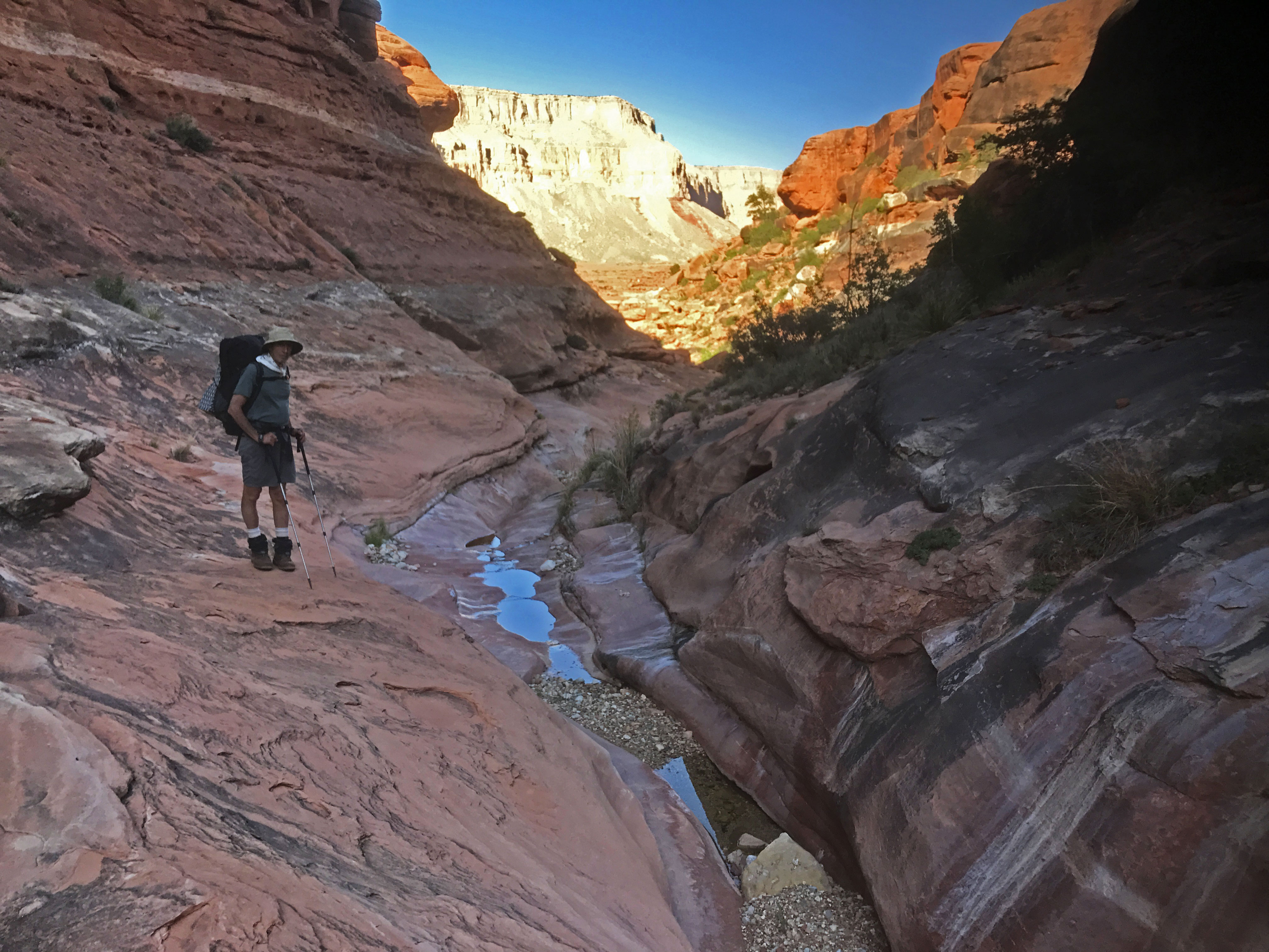
Click on photos to see larger image.

Today's route stats: 

    Distance:  4.0 miles (rough estimate)

    Elevation Gain:  200 feet

    Elevation Loss:  1900 feet

This morning, after eating breakfast, we packed up and headed towards 150-Mile trailhead.  About 5 miles from the trailhead, we turned off onto another road running westward, toward our exit.  We were expecting, after half a mile or so, to see a side road heading south toward SB Point.  But the main road was the road to SB Point, and road we wanted was completely overgrown with sage, and was blocked off.  So we decided to leave my bike there (with some water), and head to the trailhead.  This would add about 4 miles to our last day, but on level ground we didn't expect it to be an issue.

We got to the trailhead mid-morning.  I had been to this trailhead once before, during a 1998 hike from Sowats Point to 150-Mile, but I couldn't remember much about the trail.  Although it has been abandoned for many decades, we were still able to follow it for much of the way. 

 
150-Mile Canyon Trailhead and Corral Upper End of 150-Mile Canyon. Ben and Rob Following the Faint Trail.


The following trail description was provided by the National Park Service:
 

The route out to the rim at Buckhorn Spring in Hundred and Fifty Mile Canyon (150 Mile Canyon) has a few cairns, and some vestigial trail remains, but is mostly a scramble through a ravine in the Coconino. Up from the Coconino, follow the historic fence line and then traverse west. Once around the ridgeline, head up and out on a faint trail in the small ravine west of the historic corral.


There were only a couple of places on the trail where we were a bit confused -- mostly where it drops steeply down a ravine.  But once we got down lower on the slope, bits of the trail re-appeared and took us directly to Buckhorn Spring.  Buckhorn Spring had a tiny trickle and a small pool.  It is considered perennial by the NPS. 

 
Route Through the Coconino Sandstone. Approaching Buckhorn Spring. Ben at Buckhorn Spring.
 

From Buckhorn Spring, we followed the 150-Mile drainage for about a mile before gaining the top of the Supai, or Esplanade.  Once on the Esplanade it was just a matter of following Supai benches over to Hotel Spring Canyon, then along the rim to find a way down.  There was no trace of the Tuckup Trail.

There is some old fencing down in the canyon, and remnants of a constructed cattle trail.  Hotel Spring consisted of numerous seeps which collected into some small pools connected by a small flow.  It is a very pretty canyon.

As usual, I listened to an audio book for a while after going to bed.  Tonight I listened to Sapiens: A Brief History of Humankind by Yuval Harari. 


Rob in Hotel Spring Canyon. Ben in Hotel Spring Canyon. Ben and Rob in Hotel Spring Canyon.


Back to Main Trip Index Back to Trip Index Back to Preface Forward to Day 2